
A comprehensive system for early detection, rapid response, and prevention of wildfires in high-risk areas using advanced IoT technology.
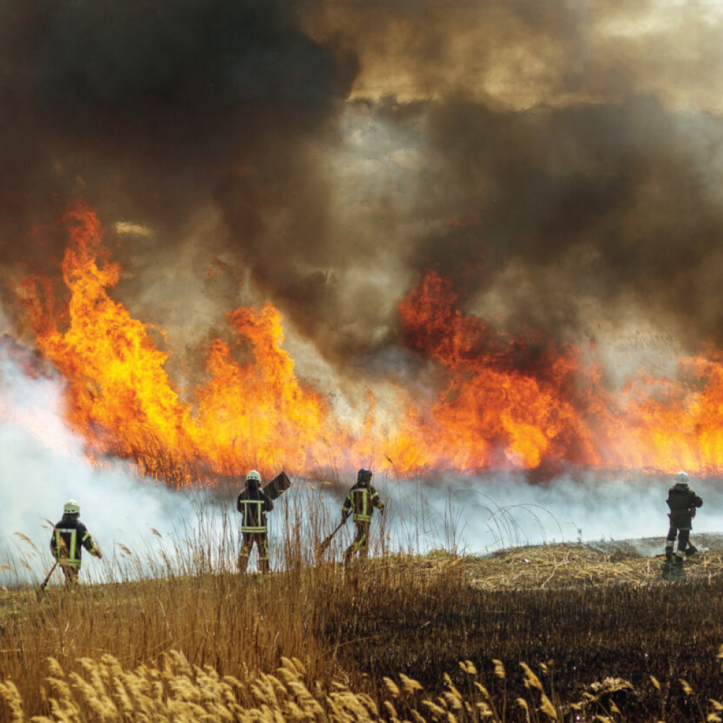
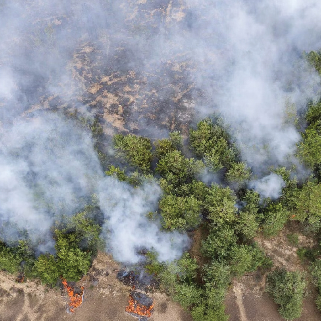
The Growing Wildfire Crisis
Wildfires are becoming increasingly devastating across the globe:
The challenge: How can we leverage technology to detect fires earlier,
respond faster, and prevent catastrophic damage?
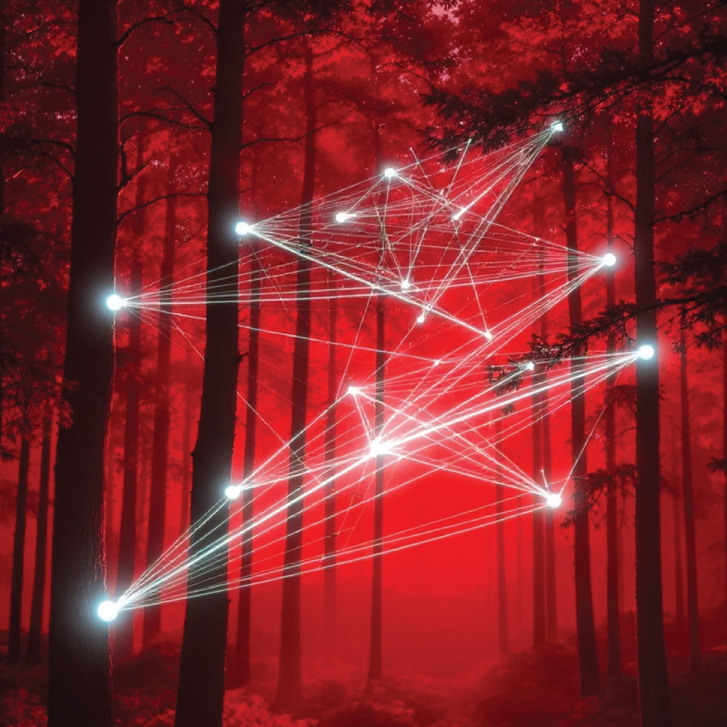
IoT: The Future of Wildfire Defence
Our comprehensive IoT solution creates a digital nervous system throughout forests and high-risk areas.

Distributed sensor networks detect smoke,
temperature anomalies, and environmental
changes before human observers can spot
visible flames.

Automated notification systems alert first
responders within seconds of detection,
reducing response times by up to 71%.

AI-powered models forecast high-risk
conditions and fire spread patterns,
enabling proactive resource deployment.
This system operates autonomously 24/7, even in remote areas with limited connectivity, creating a persistent protective shield over vulnerable
landscapes.
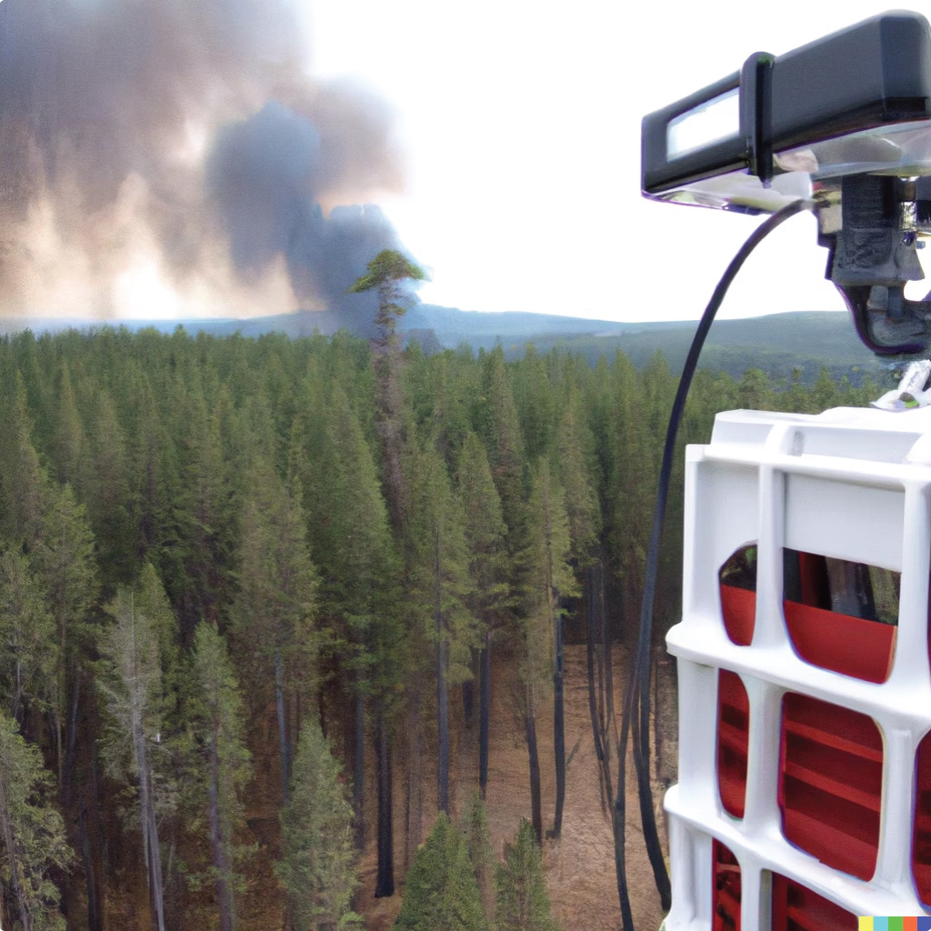
Critical IoT Components
Each component is ruggedised for harsh outdoor conditions, with redundant systems ensuring continuous operation even during partial failures.

System Architecture
Distributed environmental sensors throughout target areas collect realtime data on temperature, smoke, wind, and air quality.
LoRaWAN, NB-IoT, and Satellite connectivity transmit sensor data to local
gateways, ensuring coverage even in remote areas.
Cloud-based analytics platform processes incoming data through AI
models to identify anomalies and predict fire risks.
Command centres receive alerts with precise location data and
recommended response protocols for rapid deployment.
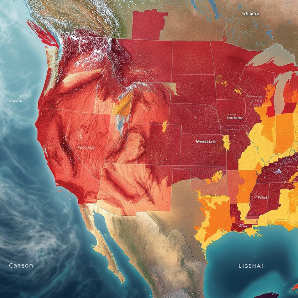
Strategic Deployment Zones
High-density deployment in areas of ecological importance and high visitor traffic. Sensors placed at both canopy and forest floor levels to detect multiple fire types.
Medium-density deployment along boundaries between agricultural lands and forests, protecting both natural resources and human livelihoods.
Strategic placement at high-risk viewpoints and valleys, with satellite connectivity for areas lacking cellular infrastructure.
Specialised deployment patterns designed to minimise disturbance to wildlife while maximising coverage of critical habitats.
Real-World Impact: Case Studies
A 3-month pilot deployment in the New Forest National Park demonstrated:
Full-scale deployment across vulnerable highland regions produced:
Both implementations demonstrated exceptional return on investment, with systems paying for themselves within the first fire season through reduced damages and response costs
Measurable Benefits
For fires under 0.5 hectares,
compared to 27% with traditional
methods
Down from 84 minutes with
conventional reporting systems
Smaller burn footprints due to
earlier intervention and precise
location data
Per 100,000 hectares protected,
including reduced damages and
response costs.
These figures represent average outcomes across multiple deployments in diverse environments over the past 24 months.
Implementation Roadmap
1-2 Months
Risk mapping of target areas
Deployment strategy development
Baseline data collection
2-3 Months
Initial sensor installation (10-15% coverage)
System calibration and testing
First responder training
3-6 Months
Complete sensor network installation
Integration with existing emergency systems
Command centre establishment
Ongoing
Performance analysis
AI model refinement
System expansion as needed
Our team provides comprehensive support throughout each phase, including technical implementation, training, and ongoing maintenance.
Your ideas matter. Share your requirements and receive a quote crafted just for you.
Ready to Innovate Together?
Get the Quote Now!